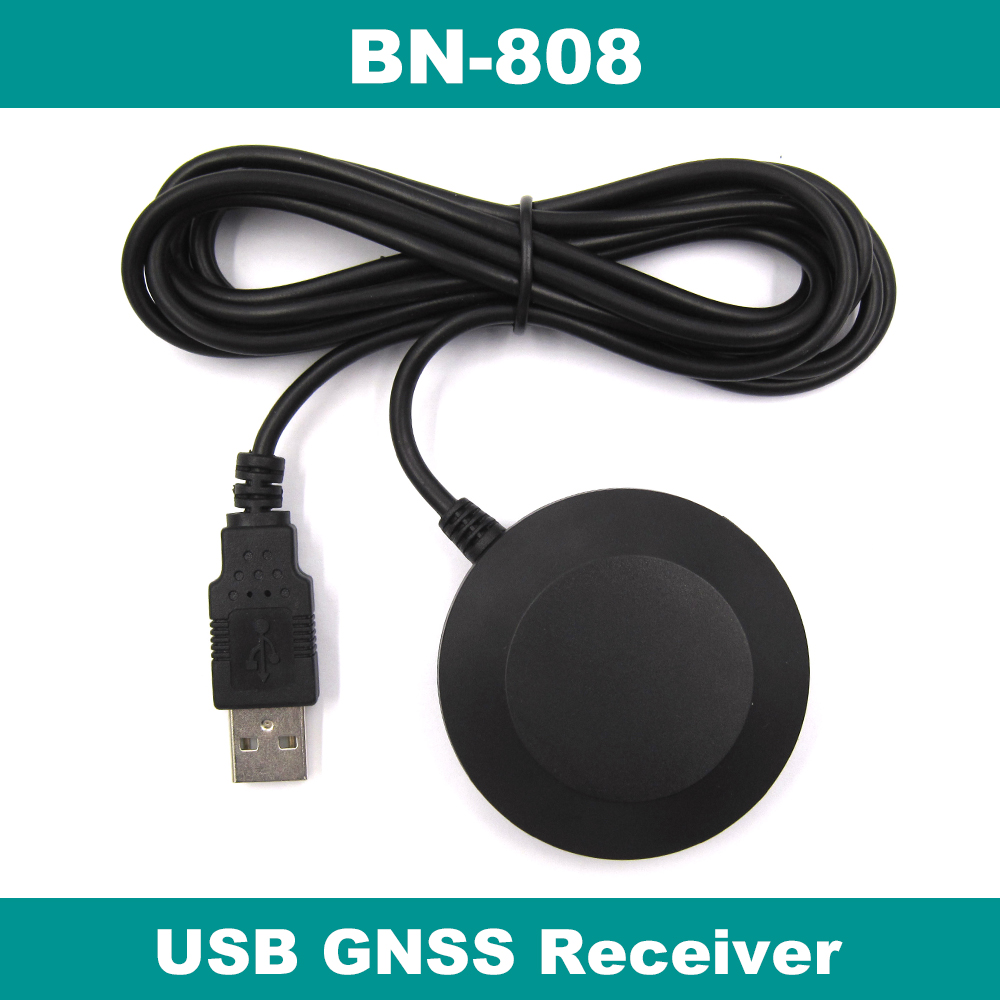
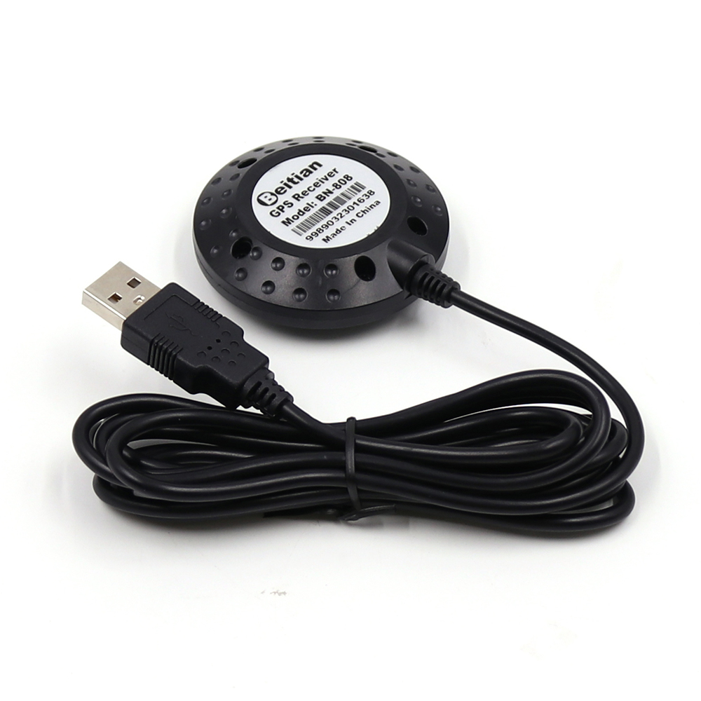
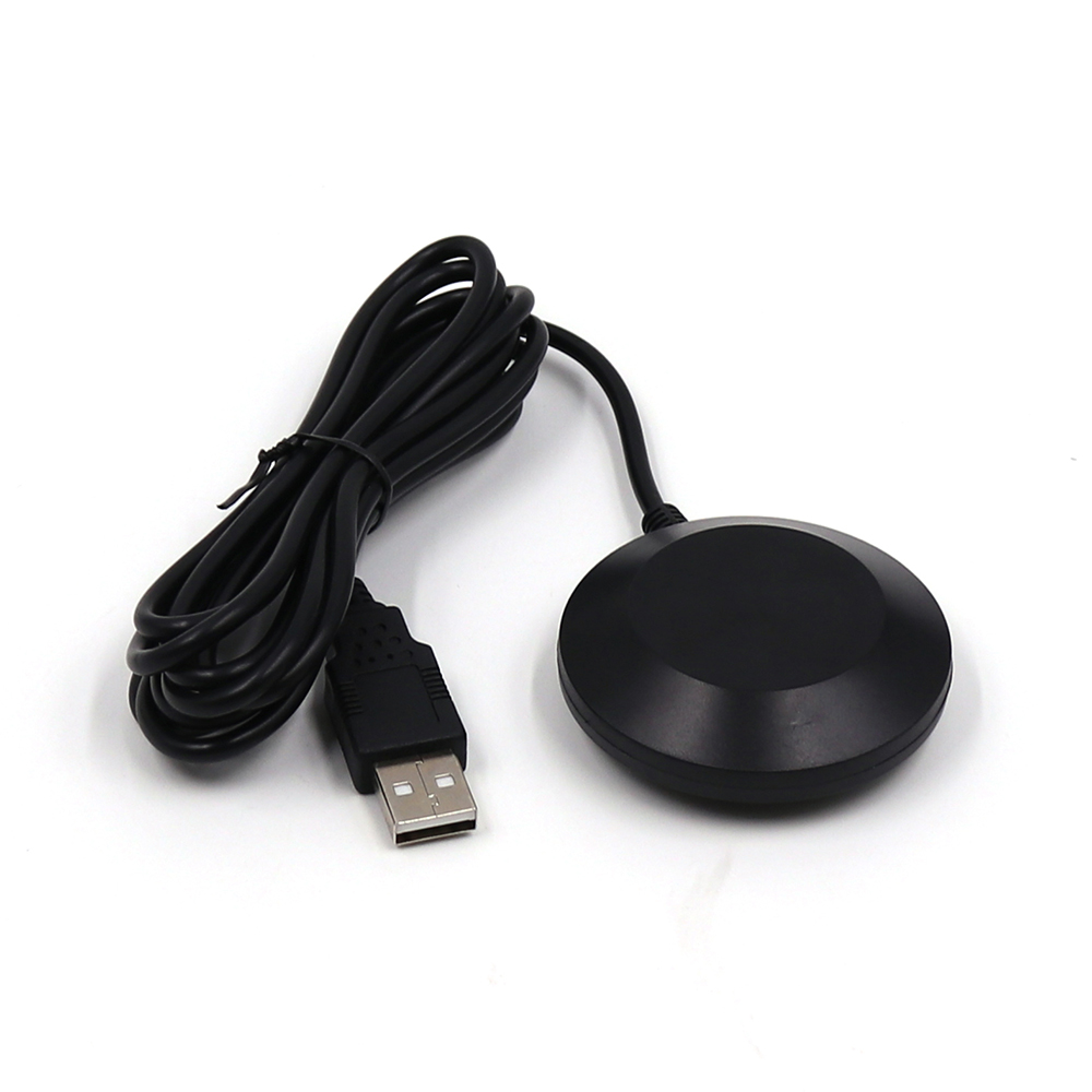
Description
- Brand Name: Buetues
- Origin: CN(Origin)
- Model Name: BN-808
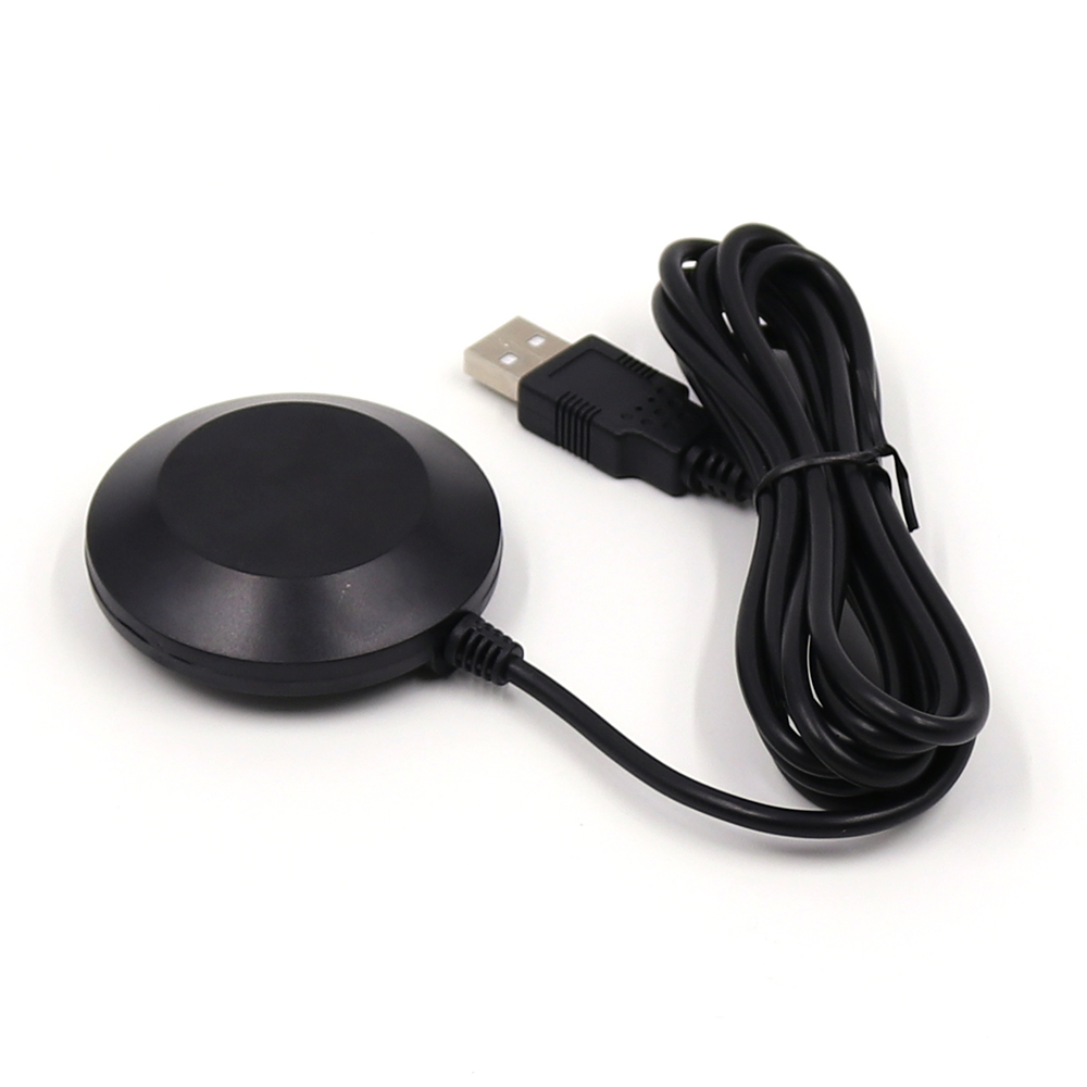
- GPS type: Receiver & Antenna
- Chipset: M8030-KT
- Receiving Format: GPS, GLONASS, SBAS, QZSS
- Data Level: USB level
- NMEA Message: RMC,VTG,GGA,GSA,GSV,GLL
- Update Rate: 1Hz-10Hz,Default 1Hz
- FLASH: 4M FLASH,Store the configuration permanently
- VCC: DC Voltage 3.6V-5.5V,Typical:5.0V
- Dimension: D56mm*18mm
- Connector: USB 2.0 Male interface
- Cable Length: 2.0m
- Fixed: Magnetic bottom

Model:BN-808 USB GNSS Receiver
Features:
|
Iitem |
Description |
|
|
Electrical Characteristics |
Chipset |
M8030-KT |
|
Frequency |
GPS L1, GLONASS L1, BDS B1, GALILEO E1, SBAS L1, QZSS L1 |
|
|
Receiving Format |
GPS, GLONASS, BDS, GALILEO, SBAS, QZSS. Default GPS, GLONASS, SBAS, QZSS. |
|
|
Channels |
72 Searching Channel |
|
|
Sensitivity |
Tracking |
-167dBm |
|
Reacquisition |
-160dBm |
|
|
Cold start |
-148dBm |
|
|
Hot start |
-156dBm |
|
|
Accuracy |
Position Horizontal |
2.0 m CEP 2D RMS SBAS Enable (Typical Open Sky) |
|
Velocity |
0.1m/sec 95% (SA off) |
|
|
Timing |
1us synchronized to GPS time |
|
|
Acquisition Time |
Cold Start |
26s |
|
Warm start |
25s |
|
|
Hot start |
1s |
|
|
Data Output |
Support Rate |
4800 bps to 921600 bps, Auto-adapted baud rate |
|
Data Level |
USB level |
|
|
Data Protocol |
NMEA-0183 |
|
|
NMEA Message |
RMC, VTG, GGA, GSA, GSV, GLL |
|
|
Update Rate |
1Hz-10Hz,Default 1Hz |
|
|
FLASH |
4M FLASH, Store the configuration permanently |
|
|
Operational Limits |
Altitude |
<50,000m |
|
Velocity |
<515m/s |
|
|
Acceleration |
<4g |
|
|
Power consumption |
VCC |
DC Voltage 3.6V-5.5V,Typical: 5.0V |
|
Current |
Capture 50mA/5.0V |
|
|
Mechanical Specifications |
Dimension |
56mm*56mm*18mm |
|
Weight |
70g |
|
|
Connector |
USB 2.0 Male interface |
|
|
Cable Length |
2m |
|
|
Fixed |
Magnetic bottom |
|
|
Water proof |
IP67 |
|
|
Environment |
Operating temp |
-40 °C ~ +85°C |
|
Storage Temp |
-40°C ~ +105°C |
|
Pin Description:
|
PIN |
PIN Name |
I/O |
Description |
|
1 |
VCC |
I |
DC 3.6 V-5.5V supply input,Typical: 5.0V |
|
2 |
D- |
O |
USB D- |
|
3 |
D+ |
I |
USB D+ |
|
4 |
GND |
G |
Ground |


support system:
Mac os,linux,Windows ME/98/CE,server 2003,server 2008,vista,xp,windows 7,windows 8,Windows 10,all windows series system.

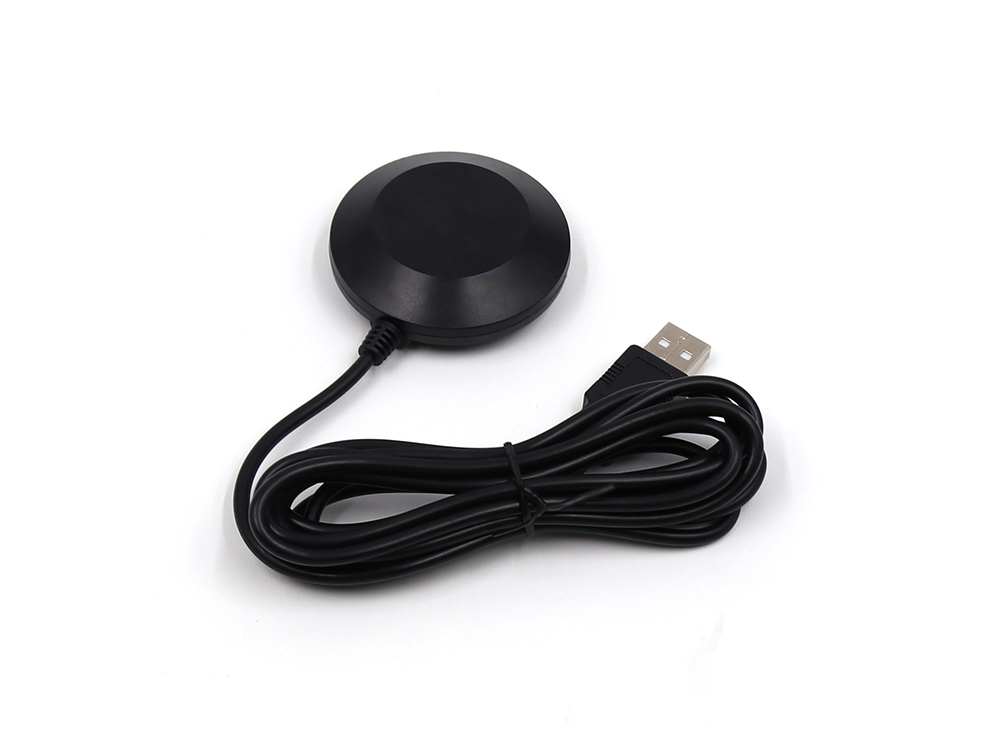
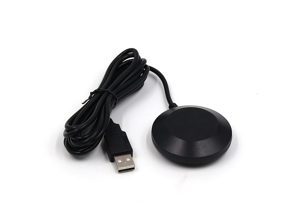
1Piece BN-808 USB GPS Receiver

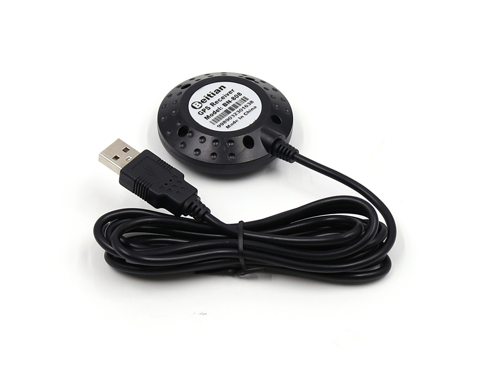
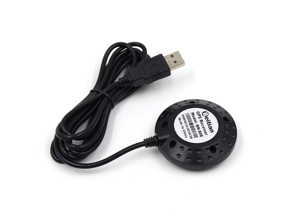
This GPS receiver has built-in FLASH. You can configure the output data of the GPS receiver freely through the U-CENTER test software. Such as baud rate, output frequency, output protocol and so on. Go and configure according to your requirements.
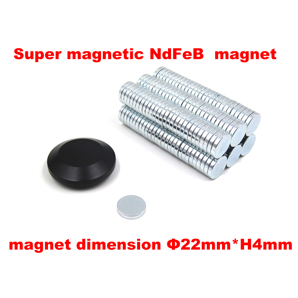
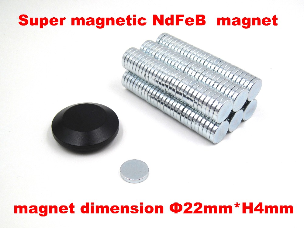
It has a super ferromagnetic NdFeB magnet built into the bottom. The magnet dimension is diameter 22mm*height 4mm.When you use the GPS receiver, you can either attach it to the top of the car or stick it to any place with iron.but you need to keep that cable toward the sky, In order to make the antenna better receive satellite signals.
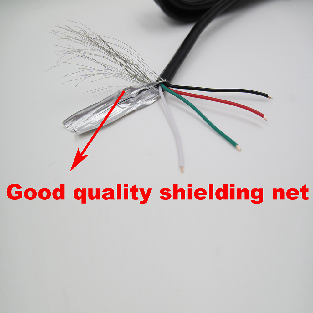
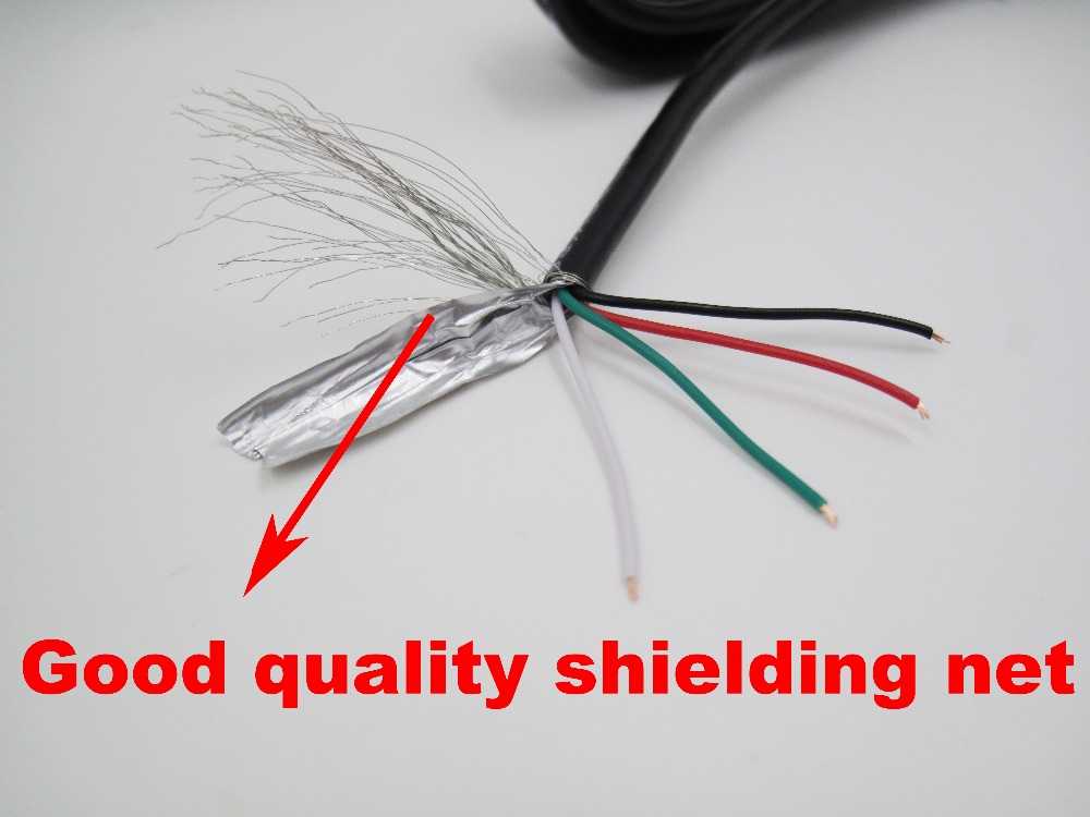
The GPS receiver is used high quality cable material, this cable material with shielding net, Dear customers please feel free to use.
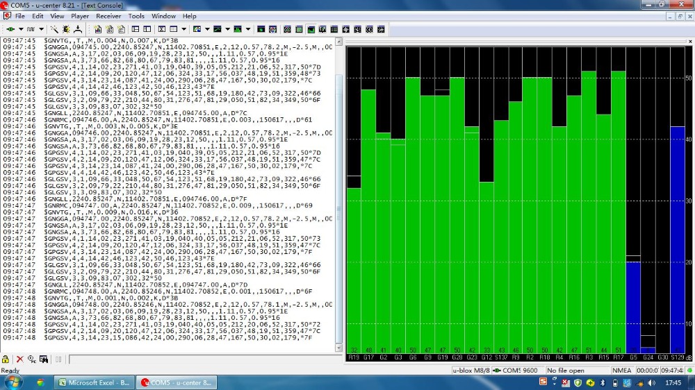
$GNRMC,073114.00,A,2237.56240,N,11401.59614,E,1.329,21.11,020916,,,A,V*37
$GNVTG,21.11,T,,M,1.329,N,2.462,K,A*1B
$GNGGA,073114.00,2237.56240,N,11401.59614,E,1,12,0.78,112.9,M,-2.5,M,,*54
$GNGSA,A,3,19,05,02,06,17,12,09,13,,,,,1.48,0.78,1.26,1*01
$GNGSA,A,3,69,83,84,70,68,82,,,,,,,1.48,0.78,1.26,2*0E
$GPGSV,4,1,13,02,46,340,36,05,52,254,37,06,42,041,41,09,22,053,40,0*6E
$GPGSV,4,2,13,12,32,282,35,13,13,185,33,17,36,131,37,19,57,119,44,0*66
$GPGSV,4,3,13,20,03,237,,23,00,038,,25,09,311,19,42,51,128,32,0*60
$GPGSV,4,4,13,50,46,123,33,0*50
$GLGSV,2,1,08,68,25,027,39,69,78,011,36,70,40,213,43,74,00,259,,0*78
$GLGSV,2,2,08,82,06,124,36,83,46,085,44,84,44,358,41,85,05,324,14,0*74
$GNGLL,2237.56240,N,11401.59614,E,073114.00,A,A*7C


