Description
- Brand Name: rplidar
- State of Assembly: Ready-to-Go
- Compatibility: All Compatible
- Camera Equipped: Yes
- Model Number: A1M8
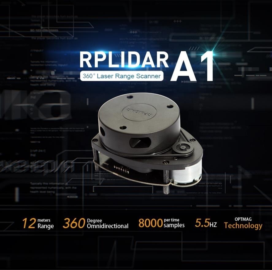
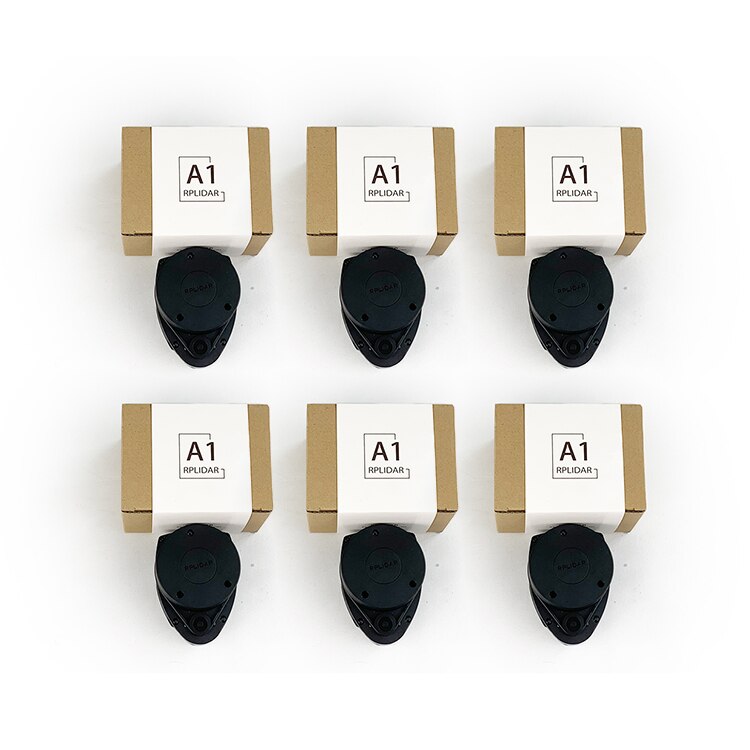
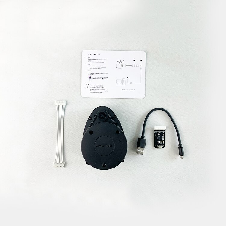
5pcs Low Cost 360 Degree Laser Range Scanner A1M8
Description:
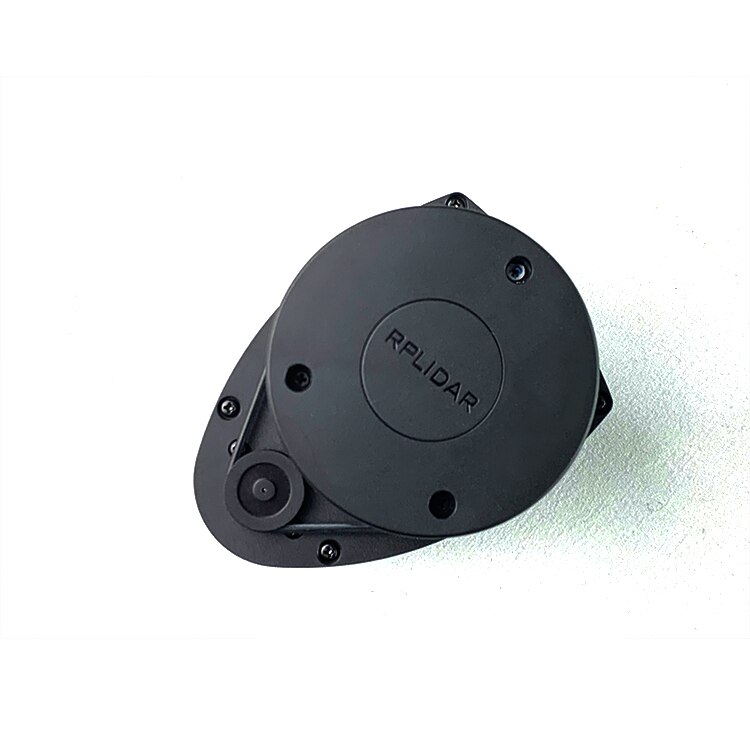
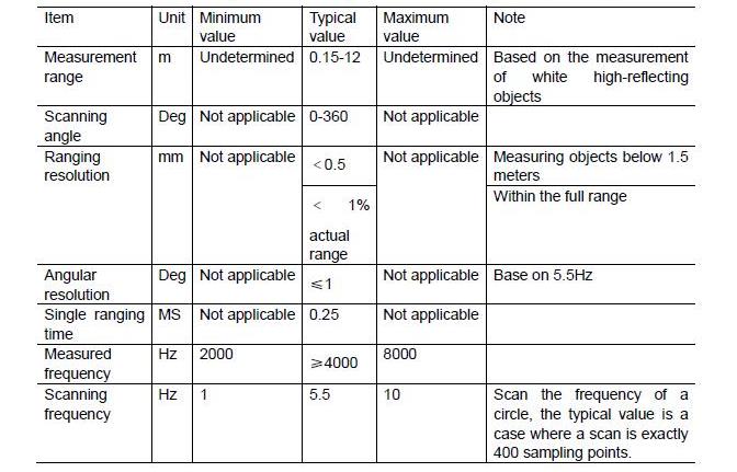
RPLIDAR A1 is a low cost 360 degree 2D laser scanner (LIDAR) solution developed by SLAMTEC. The system can perform 360degree scan within 6meter range. The produced 2D point cloud data can be used in mapping, localization and object/environment modeling.
RPLIDAR A1’s scanning frequency reached 5.5 hz when sampling 360 points each round. And it can be configured up to 10 hz maximum.
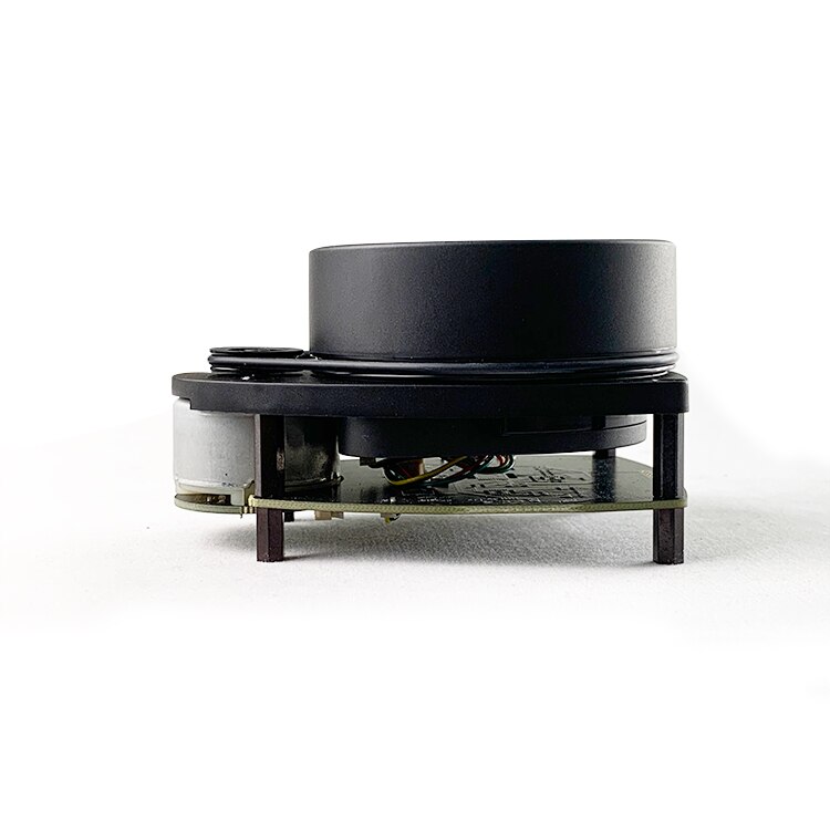
RPLIDAR A1 is basically a laser triangulation measurement system. It can work excellent in all kinds of indoor environment and outdoor environment without sunlight.
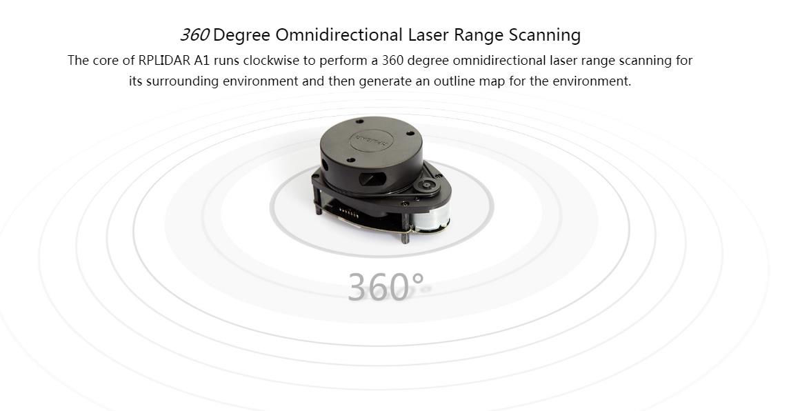
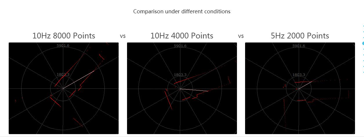
Measures distance data in more than 8000 times/s
The sample rate of LIDAR directly decides whether the robot can map quickly and accurately.
RPLIDAR improves the internal optical design and algorithm system to make the sample rate up to 8000 times, which is the highest in the current economical LIDAR industry.
OPTMAG Original Design
Most traditional non-solid LIDARs use slip ring to transfer power and data information, however, they only
have thounds of hours of life due to mechanical wearing out. Slamtec has integrated the wireless power
and optical communication technology to self-design the OPTMAG technology, which breakouts the life limitation
of traditional LIDAR system. It fixes the electrical connecttion failure caused by the physical wearing out so as to prolong the life-span.

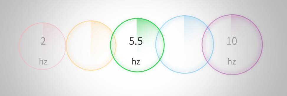
Configurable Scan Rate from 2-10Hz
Users can adjust the scan rate by alternating the motor PWM signal
Ideal for Robot Navigation and Localization
RPLIDAR is the designed sensor for applying SLAM algorithm
Plug and Play
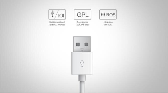
Just connecting the RPLIDAR and a computer via a micro USB cable,
users can use the RPLIDAR without any coding job
Application Scenarios
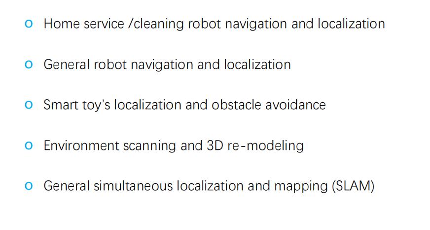
The RPLIDAR A1 can be used in the following application scenarios:
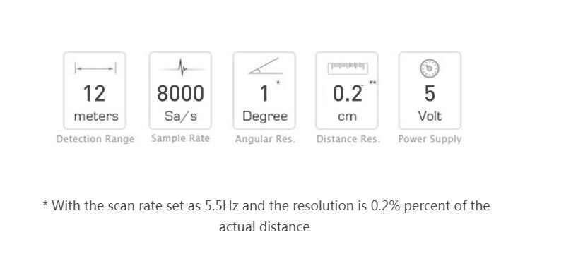
Measurement Performance
For Model A1M8 Only
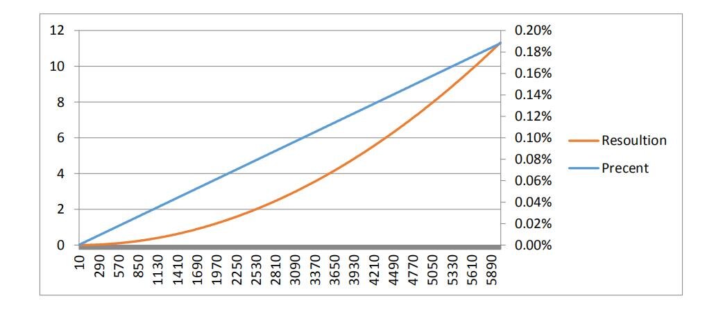
Note: the triangulation range system resolution changes along with distance, and
the theoretical resolution change of RPLIDAR A1 is shown as below:
